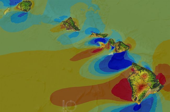

The Hawaii State Energy Office's Renewable EnerGIS map provides a large amount of information on renewable energy production and potential in Hawaii. The interactive map includes:
Other layers include information on volcanic rifts and calderas, property parcels, agricultural land, annual rainfall, whale sanctuaries, ocean bathymetry, and the differences between shallow and deep ocean temperatures.
Click here to access the Renewable EnerGIS map.